
Sonoma County ZIP Code Coverage
The working Sonoma County ZIP inventory below follows the county research table and groups postal names where the source groups them. It is a starting index, not a boundary polygon. USPS address verification is required for a particular street, unit, PO box, or county-edge parcel. A postal ZIP is assigned for delivery, so it may cross incorporated and unincorporated territory.
| ZIP | Areas Covered | Post Office | Notes |
|---|---|---|---|
| 94922 | Bodega | Bodega | Southwestern inland and rural Sonoma |
| 94923 | Bodega Bay | Bodega Bay | Coast and harbor area |
| 94926, 94927, 94928 | Rohnert Park | Rohnert Park | 94927 is commonly PO-box routing; verify street delivery |
| 94931 | Cotati and nearby postal territory | Cotati | ZIP and city line are not identical |
| 94951 | Penngrove | Penngrove | Unincorporated Penngrove, not Petaluma city by proximity |
| 94952, 94953, 94954, 94955, 94975 | Petaluma | Petaluma | West, east, special, and PO-box routes; 94975 is associated with Petaluma PO boxes |
| 94972 | Valley Ford | Valley Ford | Small rural and coastal postal area near the county line |
| 95401, 95403, 95404, 95405, 95407, 95409 | Santa Rosa core and surrounding postal territory | Santa Rosa stations | Some Santa Rosa mailing addresses are outside city service limits |
| 95402, 95406 | Santa Rosa special routing | Santa Rosa | Treat as nonstandard or PO-box routes; verify a physical address |
| 95412 | Annapolis | Annapolis | Remote northwest Sonoma |
| 95419 | Camp Meeker | Camp Meeker | Small west-county community |
| 95421 | Cazadero | Cazadero | Russian River and northwest rural territory |
| 95425 | Cloverdale and surrounding area | Cloverdale | Postal area extends beyond the incorporated boundary |
| 95430 | Duncans Mills | Duncans Mills | Lower Russian River and coast corridor |
| 95431 | Eldridge | Eldridge | Sonoma Valley institutional and local postal identity |
| 95433 | El Verano | El Verano | Unincorporated Sonoma Valley |
| 95436 | Forestville | Forestville | Unincorporated west county |
| 95439 | Fulton | Fulton | Small community north of Santa Rosa |
| 95441 | Geyserville | Geyserville | Northern wine-country and rural territory |
| 95442 | Glen Ellen | Glen Ellen | Sonoma Valley |
| 95444 | Graton | Graton | Unincorporated west county |
| 95446 | Guerneville and nearby rural routes | Guerneville | Lower Russian River postal territory |
| 95448 | Healdsburg and surrounding wine country | Healdsburg | City plus unincorporated routes |
| 95450 | Jenner | Jenner | Coast, river mouth, and rural routes |
| 95452 | Kenwood | Kenwood | Unincorporated Sonoma Valley |
| 95462 | Monte Rio | Monte Rio | Lower Russian River |
| 95465 | Occidental | Occidental | West-county rural area |
| 95471 | Rio Nido | Rio Nido | Small Russian River postal community |
| 95472 | Sebastopol and a larger unincorporated area | Sebastopol | Extends well beyond Sebastopol city |
| 95473 | Santa Rosa special routing | Santa Rosa | Verify; not a general physical-neighborhood ZIP |
| 95476 | City of Sonoma and broad unincorporated Sonoma Valley | Sonoma | Postal place does not select the city boundary |
| 95480 | Stewarts Point | Stewarts Point | Remote north coast |
| 95486 | Villa Grande | Villa Grande | Small Russian River postal identity |
| 95487 | Vineburg | Vineburg | Often unincorporated Sonoma Valley |
| 95492 | Windsor and surrounding postal territory | Windsor | Town plus nearby routes |
| 95497 | The Sea Ranch | The Sea Ranch | North-coast planned community and rural routes |
No simple authoritative countywide ZIP boundary table or verified Sonoma-wide ZIP split or realignment year was located. The Census QuickFacts profile can add county-level population context, but it does not map a delivery ZIP or identify a household. County-edge routes should be tested address by address, including any parcel near the Napa line. The list is useful for orientation, while USPS remains the final delivery check.
Sonoma County Postal Route Notes
The most important ZIP patterns are not numbers alone. 94927 is commonly used for PO-box routing within the Rohnert Park group. 94975 is associated with Petaluma PO boxes. 95402, 95406, and 95473 are special or PO-box routes that should not be used as a physical-neighborhood shortcut. 95472 reaches beyond Sebastopol, 95476 covers the City of Sonoma plus unincorporated valley communities, and 94928 extends beyond Rohnert Park.
Santa Rosa has several postal ZIPs, and the “Santa Rosa” line can include unincorporated land. The same pattern appears around Healdsburg, Cloverdale, Petaluma, Windsor, and the Russian River communities. A ZIP can help group a search, but it cannot choose Santa Rosa city permits, Permit Sonoma, a police jurisdiction, or a municipal advisory body by itself.
The ZIP code directory is most useful when it labels a route as postal geography and then hands the physical question to the APN, situs, and jurisdiction layers.
Sonoma County ZIP Search Fields
Permit Sonoma supplies a concrete ZIP-enabled search, although the result is a permit or enforcement record rather than a resident list. Use the Zip field with a street range, direction, street name, street type, city, and state. Select Search All Departments when the record may sit outside one module. Leaving Start Date blank broadens the loaded search beyond the default recent window on several modules.
| Permit search field | Use with a ZIP |
|---|---|
| Zip | Enter the delivery ZIP, then verify the full address if the result crosses a city line. |
| Street No. from/to | Narrow a range or test one number at a time. |
| Direction | Use a direction such as N when the address includes one. |
| Street Name and Type | Keep the name and suffix in their separate fields. |
| City and State | Use the entered postal city, then confirm municipal jurisdiction. |
| Parcel No. | Use the APN in xxx-xxx-xxx form when ZIP results are broad. |
| Search All Departments | Include building, planning, engineering, fire, well and septic, or enforcement records where enabled. |
| Start Date | Leave blank to broaden the loaded date range. |
| Search and Clear | Run the query or clear it before testing a new ZIP and address combination. |
The Santa Rosa permit search is a separate city channel for parcels inside the city. It includes street number, street name, record type, record number, Search, and Clear or Reset controls. A county ZIP search that returns no record may simply be pointed at the wrong permit keeper.
The Sonoma County Assessor service page explains the parcel channel that can replace a broad ZIP when an APN is needed.
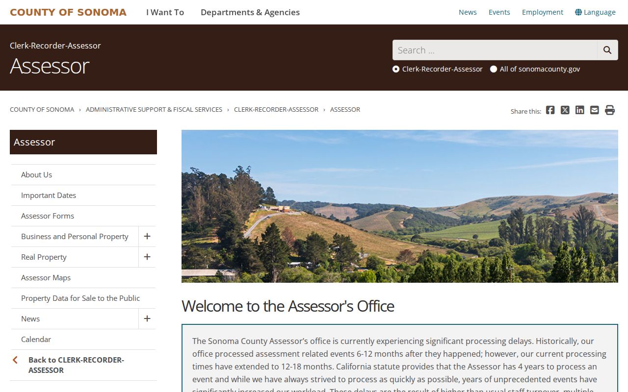
The assessor route turns a postal grouping into an assessment parcel, which is a more stable key for a record search.
The Santa Rosa Permit Search source shows the separate city channel used when the parcel is inside Santa Rosa limits.
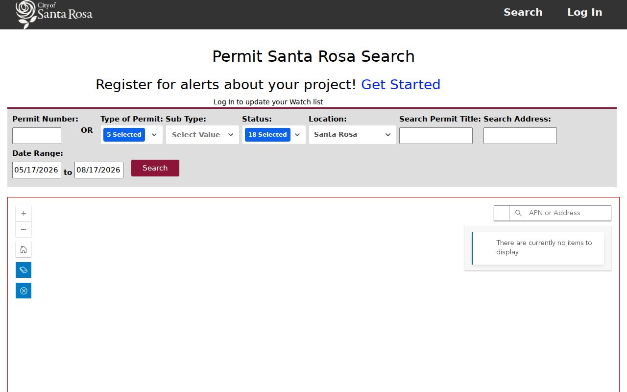
A city permit screen can answer a local project question, but it does not turn a postal ZIP into a municipal boundary.
Finding Sonoma County Residents By ZIP
A ZIP search should narrow delivery geography first and identify a person or parcel second. The county property system is not a public ZIP-wide resident browse, and My Voter Status is a personal authenticated lookup. Permit and open-data searches can accept ZIP or address fields, but they show project records, not households. The safest path is a postal verification followed by an APN or street search.
- Verify the full delivery address with the USPS ZIP Code Lookup, including unit or PO-box details.
- Mark whether the result is a physical situs, mailing destination, special route, or PO-box address.
- Use the ZIP in Permit Sonoma or the applicable city permit search, then clear Start Date if a broader loaded record range is needed.
- Move to the assessor or parcel map when the goal is land, APN, assessed value, or a lawful roll field.
- Once the ZIP narrows to a named road, use the Sonoma County street directory process for parcel and address records.
Do not treat the number of results as a population count. A permit row is a project. A tax row is a parcel. A voter status match is the authenticated voter's own record. A directory entry is a dated publication clue. The ZIP code directory becomes accurate when each result is labeled by record type.
Sonoma County ZIP Geography
A postal city is a delivery label, not a municipal boundary. The county's nine incorporated cities share postal names and routes with unincorporated communities. 95472 can reach outside Sebastopol. 95476 can identify the City of Sonoma or broad Sonoma Valley territory. Santa Rosa postal ZIPs can include land outside the city. 94952 and 94954 can reach beyond Petaluma city, while 94928 reaches beyond Rohnert Park.
Overlay city-limit and county layers before selecting a city office. If the parcel is unincorporated, Permit Sonoma may be the custodian for building, planning, septic, fire, or code material. If it is inside an incorporated city, use that city's permit and clerk systems. The mailing place alone cannot make the jurisdiction choice.
- ZIP versus ZIP+4
- A ZIP is a five-digit delivery area; ZIP+4 adds a narrower delivery segment for a specific address or route.
- PO-box ZIP
- A ZIP used for post-office boxes or special routing that may not represent a physical parcel neighborhood.
- Unique ZIP
- A delivery ZIP assigned to one institution or specialized destination rather than a broad set of street addresses.
- Carrier route
- A mail-delivery path inside a ZIP, not a land parcel boundary or a resident roll.
Sonoma County APN And ZIP Keys
The APN, situs, mailing address, and ZIP each describe a different layer. Sonoma APNs display as XXX-XXX-XXX and identify an assessment parcel. Situs is the physical location assigned by the addressing authority. Mailing address is the tax or correspondence destination and can be elsewhere. ZIP and postal city are USPS routing values. A legal description in a deed can identify the land even when a road name, route, or postal city changes.
That distinction gives a practical fallback. If a ZIP search returns too much, copy the parcel APN into the assessor or GIS path. If a historic address does not resolve, use the APN and legal description, then search the town, route, or locality named by an older directory. If a permit result appears under a Santa Rosa postal line, test the city limit before assuming that Permit Sonoma or the city has the record.
A ZIP code directory can organize the first pass, but the APN is usually the stronger spine for land and address research.
Sonoma County Special ZIP Routes
Special and PO-box routes are easy to overread. 94927, 94975, 95402, 95406, and 95473 should be checked with the complete delivery line before they are used in a physical-address project. A PO-box destination can connect a person or organization to a postal channel without identifying a parcel. Likewise, a ZIP that serves a wide rural route can group communities that have different permit, fire, school, or municipal records.
For local human history, record the post office name exactly as printed and note whether the source was a route, box, or street entry. That small field can explain why a family appears under a different community in a later directory. It also prevents a postal label from being mistaken for a city limit or a current residence.
The USPS ZIP Code Lookup image shows why address-level verification is needed before a static ZIP list is used for a person or parcel question.
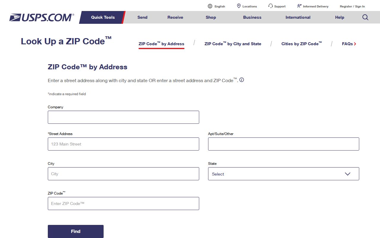
USPS verification gives the delivery answer; county and city records still decide what the address means on the ground.
Sonoma County Historical ZIP Clues
Modern ZIP geography should not be pushed backward into older sources. Sonoma County city directories are organized by town, locality, route, exchange, or community section, not by today's ZIP code. A 1922-23 farmers directory, an 1884-85 regional volume, and a 1954-55 Petaluma, Cotati, and Penngrove A to Z directory each use their own scope. Search the place heading and route first, then use a current ZIP only as a translation aid.
Historical maps, census enumeration districts, newspapers, and the parcel legal description can bridge a place-name change. A rural route or post office may be the strongest key in one year, while a numbered street becomes useful later. That is why a complete ZIP code directory still needs an older town and locality method when the question reaches back before modern delivery geography.
Sonoma County ZIP Code Limits
The working inventory is intentionally practical, not a claim of fixed boundary polygons. USPS does not publish a simple authoritative countywide list with every boundary shape, and no verified Sonoma-wide split or realignment year was located. A particular street must be checked in the live delivery tool. A county-edge address may even require testing a neighboring postal area.
Use ZIP to find the likely postal route. Use situs and APN to identify land. Use city-limit and county layers to choose the custodian. Use a permit, deed, roll, voter status, or historical directory only for the fact that source can support. That sequence keeps the Sonoma County ZIP code directory useful without making postal geography carry claims it cannot prove.