
Finding Sonoma County Street Households
An address search works best when it moves from land to people. Start with the situs, the physical location assigned to a parcel, rather than with a mailing label. Use Sonoma County Property Information or the County Property Hub to get the APN. The parcel result supplies characteristics and, where the lawful roll exposes it, a current recorded document number. Carry that number into the Recorder index. Then check permits, and use qualified voter access or historical reverse directories only for the specific lawful question. An owner, applicant, voter, and directory occupant are different roles.
The useful flow is situs or address -> APN via MBAP or Property Hub -> parcel characteristics and current document number -> grantor/grantee index -> permits -> qualified voter history or reverse directories. The order matters because a street line may change while the parcel and legal description remain the steadier keys.
- Enter the full situs address, including directional and unit details when known, in the property-information search or locate the polygon on the map.
- Record the APN, parcel characteristics, tax area, and any current document number shown through the lawful public roll channel.
- Search the Recorder's grantor and grantee index by document number, name, date, and plausible spelling variants.
- Run the Permit Sonoma address and parcel search, clearing the start date when a wider loaded history is needed.
- Use My Voter Status only for the voter's own authenticated check, or follow the qualified statutory request route for permitted research.
- For an earlier household, browse the Sonoma County Library reverse or criss-cross volumes by town, route, street, and edition year.
Sonoma County Parcel Search
The MBAP search is parcel and APN oriented. A public owner-name search was not located, and the county GIS warns that owner-name attributes may be omitted from the internet layer. That is not a dead end. It means the address should first be converted into a land identifier, then checked against the fuller roll or counter channel when a lawful public field is needed.
The County parcel service publishes general-reference geometry monthly. Its polygons help identify the lot next door and the APN joined to a map feature, but the geometry is not survey quality. A spatial or street-wide query also has a 2,000-record maximum, so narrow the map area before drawing a block-wide result. The map can be excellent for parcel location while being less useful than the counter for a named owner.
| Search field or tool | How Sonoma County uses it |
|---|---|
| Address or location | Enter a situs address or use the map geocoder; directional and unit details can affect the match. |
| APN | Use the three-part format XXX-XXX-XXX; the ArcGIS service defines an 11-character APN field including hyphens. |
| Map click | Pan and zoom, then select a parcel polygon while nearby polygons remain visible. |
| Layers and legend | Use parcel, street, address, jurisdiction, building, and place context where the deployed viewer exposes it. |
| Search | Run the address, APN, or map query after supplying one useful location key. |
| Clear and identify | Clear a selection or identify a feature; the REST service supports Identify, Query, Find, and Export Map tools. |
The APN is the handoff point. It can be carried into the Recorder index, a Permit Sonoma search, a tax inquiry, and a parcel comparison. It does not by itself name every person at the address. California Revenue and Taxation Code section 408 and Sonoma's public-layer notice make that boundary important.
The county's authoritative parcel layer documents the map service used for parcel discovery.
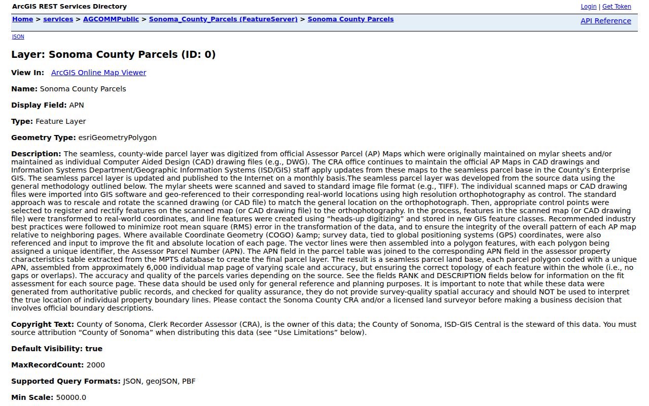
The parcel layer gives a street search its geographic spine, while the roll and deed index supply the records that a map alone cannot prove.
Sonoma County Street Records
A Sonoma County street directory is a chain of address-keyed sources, not one master resident list. The parcel map locates land, the roll adds assessment context, the Recorder supplies recorded instruments, permits show public project history, and older directories offer dated occupant snapshots. The voter system is intentionally different because a personal status tool and a restricted voter file are not open street-browse products.
| Address-keyed record set | Address key | What it can show | Coverage and limits |
|---|---|---|---|
| Sonoma parcel GIS | Map, geocoder, or APN | Parcel polygon, APN, public characteristics, adjacent lots | Current and monthly; owner name may be omitted; 2,000 query maximum |
| CRA roll or counter | Situs or APN | Assessment values, tax area, and lawful public owner or mailing fields | Current; fuller roll access is handled through the Assessor channel |
| Recorder index | Party, document, date, then legal description | Grantor, grantee, recording date, document type, and reference | Web workflow reaches 1964; earlier books and counter indexes matter |
| Permit Sonoma | Street range, name, ZIP, or APN | Permit or enforcement record, status, dates, project, and description | Mainly unincorporated county; blank Start Date broadens loaded results |
| Open-data planning permits | Address or parcel text | Record number, status, application type, address, parcel, and description | Rolling past 48 months; not a replacement for older files |
| Historical reverse directories | Town, route, street, or numbered address | Named occupant or head of household in a publication year | Year-specific, incomplete, and organized by the volume's local geography |
| Voter system | Own identifying data or qualified request | Authenticated status, or restricted geographic fields for a permitted purpose | No casual public street list; protected addresses and credentials stay closed |
Use the Sonoma County tax inquiry channel for tax and payment context, but do not turn a tax bill into proof of occupancy. The mailing address may be a PO box, an agent, an organization, or another location. Situs names the physical place. A legal description identifies the land by lot and block, subdivision map, or metes and bounds. A street directory result is sound only when those keys and the date fit.
The Sonoma County property-tax channel is useful for the fiscal side of an address search, especially when a parcel number is already known.
Tax information can confirm a parcel trail, but the tax mailing line still needs to be kept distinct from a situs and from a household roster.
Sonoma County Permit Trail
Permit Sonoma is the address-record bridge between a parcel and changes made to it. Its public search spans building, engineering, fire, planning, well and septic, enforcement, and related departments where enabled. Search fields include record type and number, project name, license information, street-number range, direction, street name and type, unit, city, state, ZIP, and parcel number. The Parcel No. format uses hyphens, so copy the APN as displayed rather than stripping punctuation.
The search interface may default to a recent three-year window on several modules. Leaving Start Date blank expands the request to all loaded records. A free login can be needed for personal application history, documents, invoices, or other account actions, while basic public searching can remain available without one. The open-data planning-permit set is a second channel for the past 48 months and includes address and parcel fields, but it is not the historical substitute for Accela or paper files.
Jurisdiction is the key Sonoma caution. A Santa Rosa mailing line can sit outside Santa Rosa city limits. In that case, Permit Sonoma may hold the building or code record, while a parcel inside the city belongs to the city's own permit system. Confirm the city-limit layer and the physical situs before deciding that an empty county search means no permit exists.
The Sonoma County planning-permit dataset shows how a recent address record can add status, application type, parcel, and description to the street trail.
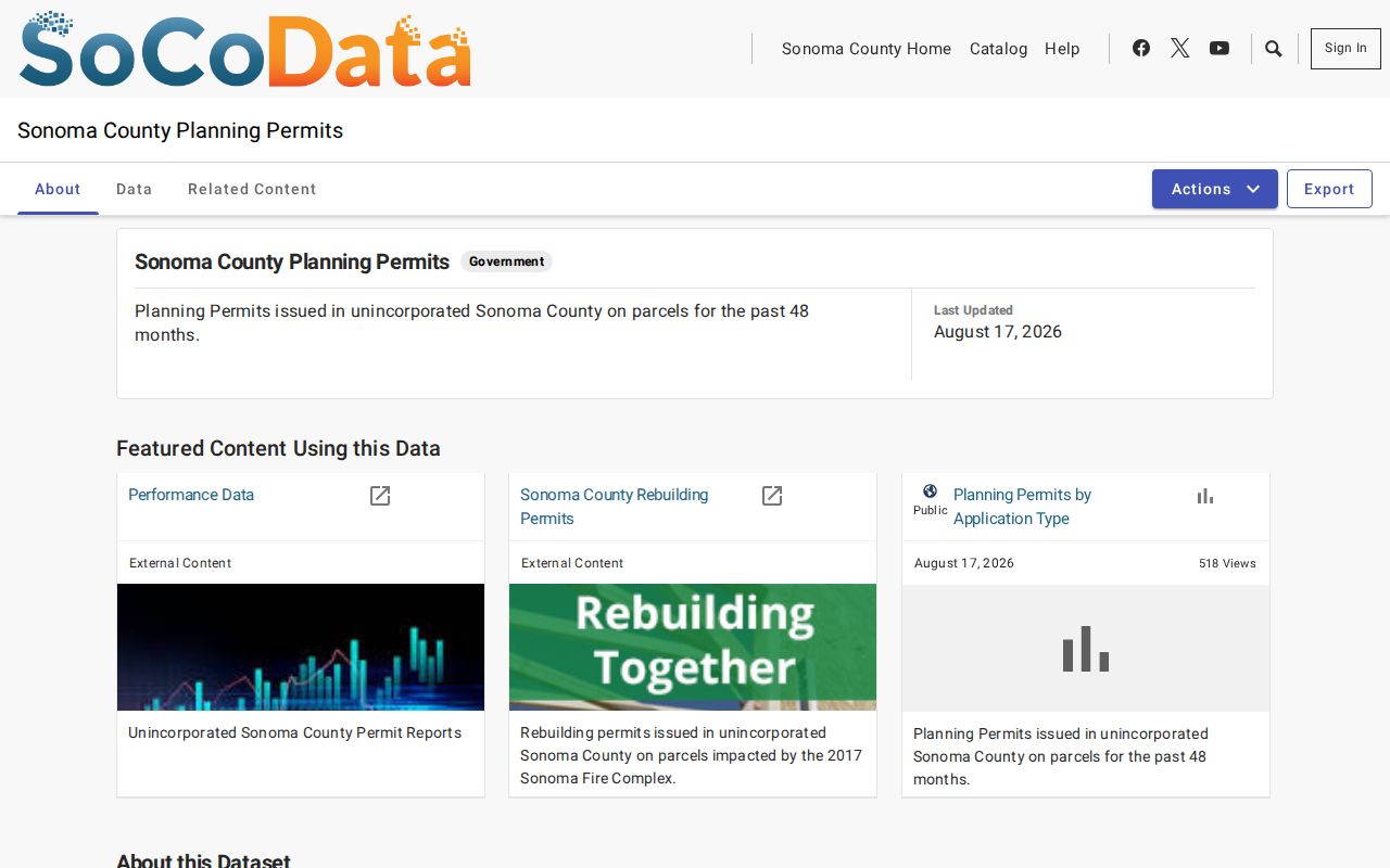
A permit can show a project and its public contacts, yet an applicant, contractor, or owner is not automatically the person who lives at the situs.
Sonoma County Deed Chain
The Recorder's Sonoma Web Service is a catalog of recorded instruments, not the deed itself. A current document number from the parcel or roll gives the search a strong starting point. Search the grantor and grantee roles, recording dates, document type, and any book or page reference. The current owner as grantee points to the seller as grantor. Search that seller earlier as a grantee, then repeat. A deed of trust, reconveyance, lien, or quitclaim has a different meaning from a transfer deed, so read the instrument or order the document rather than treating every hit as a change of ownership.
The modern electronic name-search workflow reaches 1964. County budget material for FY 2025-26 says 1830-1963 documents are still being imported, so the apparent online gap is not proof that an earlier deed is missing. Use bound or microfilmed grantor-grantee indexes, deed books, and book/page references at the Recorder counter for earlier title work. Staff can explain the index and copy route, but they will not select documents or conduct title research for the researcher.
Sonoma's own search advice is practical: try spelling variants and abbreviations. Pre-2010 records may use historical abbreviation aids; after January 1, 2010, the exact person or company name is the better first try. A street directory search that uses one modern spelling can miss a record indexed under an initial, shortened business name, or older form. The legal description and APN provide the check against a same-name collision.
- Parcel
- A mapped unit of land with an APN and assessment relationship.
- Situs address
- The physical location assigned for the property, distinct from a tax mailing destination.
- Legal description
- The land identity in a deed, such as lot and block, subdivision map, or metes and bounds.
- Plat
- A recorded map that lays out lots, blocks, easements, and street relationships.
- Criss-cross directory
- An address-order or street-order section that can turn a historical place into a named occupant, where that volume includes it.
Sonoma County Reverse Directories
Historical reverse directories add the human layer that a current parcel record cannot supply. Start with the town or community named by the volume, then browse its street or address section for the year at hand. A rural entry may use a route, locality, or post office instead of a modern numbered street. Santa Rosa and Petaluma runs are the most likely local places to find address-oriented material, but exact shelf years vary and no continuous countywide run should be assumed.
Read an entry as a dated clue. It may identify a head of household, spouse, occupation, residence, business address, phone, or widow notation. It may omit a boarder, child, seasonal person, or an entire rural household. Pair a directory address with the APN, a map, census evidence, or a newspaper before saying that a named person lived at the parcel. The Sonoma County city directory collections page keeps the historical shelf and reading method together; the street directory method here remains focused on the address chain.
My Voter Status is not a substitute for the reverse volume. The California Secretary of State lookup is an authenticated service for a voter checking a personal record. Elections Code section 2194 limits voter-file release and use, and it protects identifying credentials, signatures, and qualifying confidential addresses. A qualified file request can be geographic only for a permitted purpose. It cannot be republished as a casual block directory.
Sonoma County Street Geography
Sonoma County has nine incorporated cities alongside broad unincorporated territory. Street records therefore follow jurisdiction as well as address. A postal place name can cross a city line, and a local alias can differ from the USPS delivery line, the assessor situs, or the legal description. The county's street and address layers support dispatch and mapping, but a common-place label is not by itself a permit or deed key.
Do not invent a single dated countywide renumbering event. Research road changes street by street through city engineering records, subdivision maps, historical atlases, directories, and the parcel's legal description. Rural-route conversions, annexations, aliases, and road-name changes can break a text search while leaving the parcel and deed chain intact. When a historic street name fails, work from APN to map to legal description, then use the older locality or route wording in the library material.
This geography matters for personal history. A family may appear first under a rural post office, then under a town street, while a fire or rebuilding event changes the structure without changing the land identity. The street directory is strongest when it records those shifts as separate layers instead of forcing every name and address into one current label.
What Sonoma County Street Records Omit
A deed or assessment name proves a title or assessment relationship, not who is inside a home today. Permit contacts can be owners, architects, applicants, or contractors. The voter lookup does not list every person at an address. DMV information, utility customer data, delivery records, juvenile material, victim information, and protected case details are not open substitutes for a street roster.
Use the absence of a name as a limit, not as a conclusion. A directory may skip a year. A rural household may be listed by route. A parcel may contain more than one unit. A protected participant may use a substitute address. The safest record statement names the source, date, and role: for example, “the 1954-55 volume lists an occupant at the printed address” or “the recorded instrument names a party.” It does not turn a source clue into a live identity claim.
Lawful personal use. Sonoma County address records are suitable for personal research, family history, property curiosity, and civic review. California Penal Code sections 646.9, 422, and 653m, along with Code of Civil Procedure section 527.6, place clear limits on stalking, threats, repeated harassing contact, and conduct with no legitimate purpose. Do not use a street directory to stalk, harass, intimidate, or harm anyone.
Sonoma County Street History
A careful street search can serve a family historian, a person documenting a home, or someone checking a suspicious property solicitation. Start with the parcel, then keep title, building work, occupants, and public notices in separate columns. The result can show when a land interest changed, when a project was recorded, or when a household appeared in a dated directory. It cannot make an incomplete record series complete.
Sonoma's archive history explains why a layered method is useful. The county library became the official county archives in 1965, and its California Room opened in 1967. Printed indexes, microfilm, map layers, and born-digital systems now overlap. That history supports a simple insider rule: an empty web result calls for a better custodian or an older access channel, not a claim that the person or parcel never existed.
Insider fact. The map can find the parcel next door even when the public GIS omits owner-name attributes. Keep the APN, then ask the lawful roll custodian for the field the web layer does not expose.
That distinction is the heart of a useful Sonoma County street directory. It lets a reader browse by address without confusing a mailing line with a situs, a title holder with an occupant, or a historical clue with a current roster.